Property capture
For owners and property teams who need clear views of roofs, buildings, land context or visible change.
 Check your site
 See the site. Understand the space.
Clear aerial imagery, mapped outputs and shareable visual models for property owners, agents and developers.
Based in Taunton · Working across Somerset
Services
Two straightforward routes into the right capture and delivery scope.
For owners and property teams who need clear views of roofs, buildings, land context or visible change.
For agents, developers and owners who need strong aerial context or a shareable visual property model.
Workflow
Tell us the outcome you need.
We check access, airspace and weather.
Imagery is aligned and reconstructed.
Receive images, maps and model files.
Outputs are for visualisation and project support unless a survey-grade specification is agreed.
Sample outputs
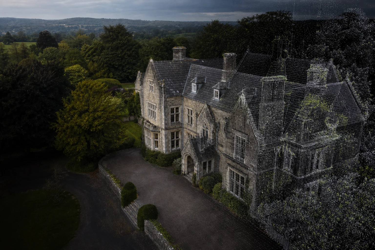
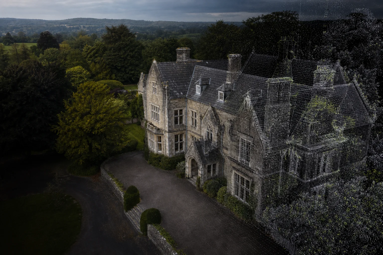
This illustrative sample shows how the same capture can move from source imagery to a usable visual twin. It is sample data, not client work.
Selected output
Overlapping aerial images create complete coverage around the building.
Real-project library
Pricing
Every site is different. These guide prices cover straightforward local projects; the final quote confirms access, airspace, travel, processing scope and any applicable VAT.
from £199
Organised aerial imagery for one straightforward small property or structure.
from £349
Capture, processing and a textured visual model for one small building.
from £499
Orthomosaic and visual model outputs for a straightforward compact site.
What you can receive
Taunton-based. Somerset-wide.
Travel requirements and any applicable VAT are confirmed before booking.About
WhewayDrones is a founder-led drone studio focused on turning aerial imagery into useful property views, maps and visual 3D models. You deal directly with the operator from the first site check to delivery.
Operator registration, relevant remote-pilot competency and third-party insurance can be verified during scoping and before booking.
Feasibility checked
before booking
Weather-aware
scheduling
Credentials and insurance
available on request
Clear scope and
file formats
FAQ
Buildings, roofs, compact sites, land features and visible structures that can be safely photographed from enough angles. We confirm suitability before booking.
Launch deliverables are intended for visualisation, planning context and project support. Accuracy depends on the site, flight pattern and control data; survey-grade accuracy is only supplied when it is explicitly scoped and verified.
Wind, rain and visibility can affect both safety and model quality. If conditions are unsuitable, we will rearrange the flight rather than compromise the result.
No. Airspace, nearby people, access, landowner permission and local restrictions all matter. Every enquiry receives a feasibility and risk check before a date is confirmed.
Straightforward image sets are usually ready within a few working days. Maps and 3D models take longer to process; your quote will include a clear delivery window.
Contact
Share the location and intended outcome. Access, airspace and likely deliverables are reviewed before a quote.
Prefer email?
job@whewaydrones.co.uk