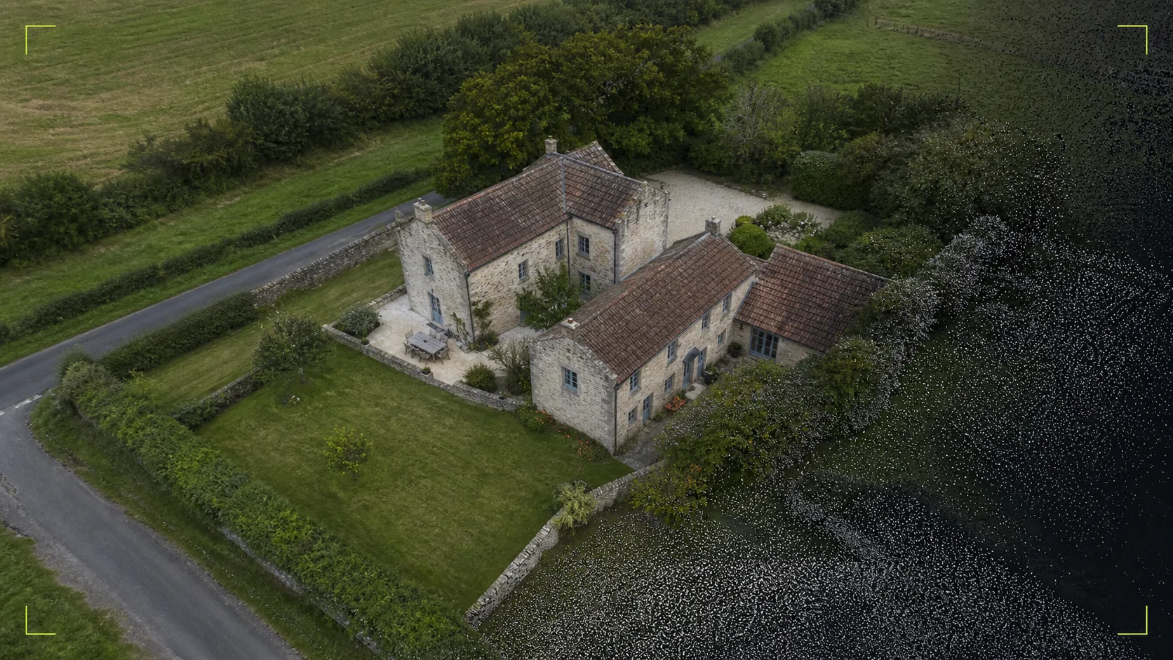
Suitable for
- Residential and commercial property listings
- Development and investment presentations
- Location and surrounding-land context
- Web, social and stakeholder updates
 Check your site
 For agents, developers and owners who need more than a high angle, capture is planned around the building, its setting and how the final assets will actually be used.
Where it fits
Method
We agree the property features, setting and intended channels the imagery needs to support.
Weather, sun position, access, airspace and surrounding property are considered before capture.
Hero views, wider location context and supporting angles are collected to create a coherent set.
Selected imagery is processed and delivered at practical sizes for web, listings and presentations.
Important boundaries
For a straightforward still-image property capture. A visual 3D model starts from £349; scope, travel and any applicable VAT are confirmed first.