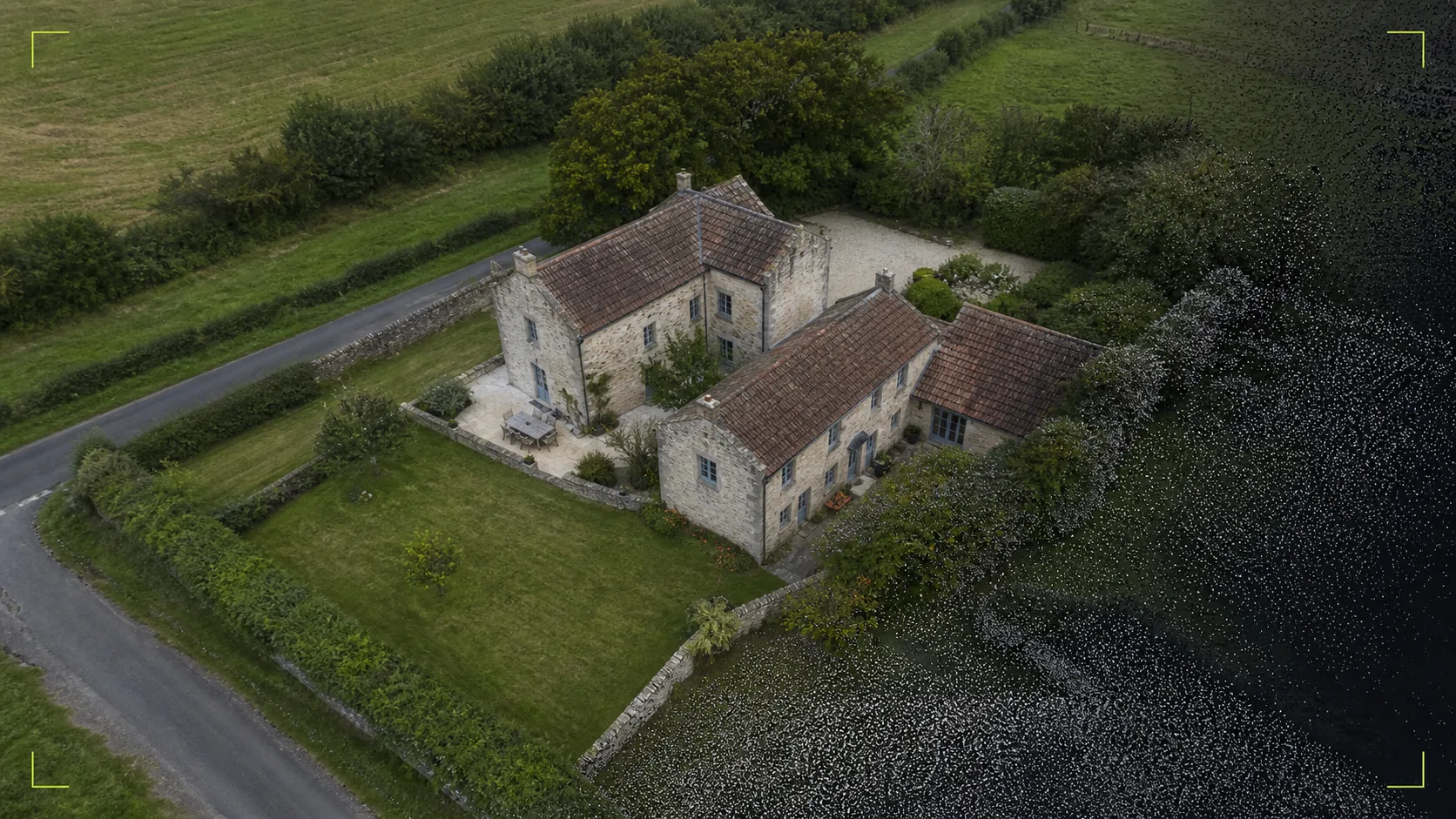
Suitable for
- Property and development context
- Visual records before or during work
- Compact land, buildings and visible site features
- Stakeholder updates that benefit from one coherent view
 Check your site
 Turn overlapping aerial imagery into a coherent top-down view or visual 3D dataset. The capture is planned around the decision you need to make—not around producing files for their own sake.
Where it fits
Method
We start with what the images or model need to help you understand, present or record.
Access, airspace, nearby people, weather and the required viewpoints are reviewed before a flight is booked.
The building or compact site is photographed from repeatable positions with enough overlap for reconstruction.
Imagery is aligned, checked and prepared in the formats agreed in the quote.
Important boundaries
For a straightforward compact mapped site. Access, airspace, processing scope, travel and any applicable VAT are confirmed before booking.